From Paper to Pixels
Dr. Ferrini was honored to be the keynote speaker at the Library of Congress GIS Day in November. Check out the YouTube video of the talk entitled "From Paper to Pixels: The Evolution of Ocean Mapping and Exploration"
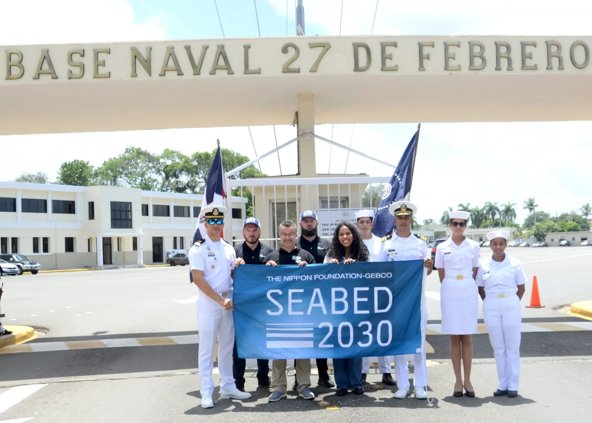
Satellite-Derived Bathymetry (SDB) Training in the Dominican Republic
SDB training coordinated by the Atlantic and Indian Oceans Regional Center (AIORC) in collaboration with TCarta and Esri was held in the Domican Republic in July. The event was featured in the local news.
Sailing for Blue Innovation - Peace Boat
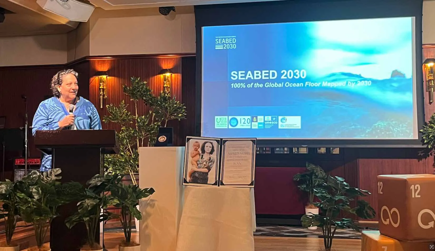
Dr. Ferrini participated in an event aboard Peace Boat entitled “Sailing for Blue Innovation and the SDGS Celebration”, highlighting UN World Oceans Day, partnerships for the Sustainable Development Goals (SDGs), and innovative approaches to ocean and climate action. During her talk, she spoke about the Nippon Foundation - GEBCO Seabed 2030 Project and its motivation and impact potential. For more information about the event, please visit Peace Boat.
Founded in 2006, Peace Boat US works to build a culture of peace and sustainability around the world by connecting people across borders and creating opportunities for learning, advocacy and cooperation.
City Tech Students Contribute to Global Ocean Mapping Effort
City Tech students recently joined a diverse group of women at Columbia University’s Climate School to learn about ocean mapping and contribute to the creation of a complete map of the ocean floor.
Climate and Interdisciplinary Pedagogy: Incorporating The Environment Into Classrooms
On Wednesday, April 3, the Columbia Climate School hosted a climate education focused event for Worldwide Climate Justice and Education Week at which Dr. Ferrini was a panelist. Her remarks focused on making geoscience and climate science accessible to communities.