From Monday July 8 until Friday 12 of 2024, five members of the Directorate of Hydrographic and Oceanographic Services of the Navy in the Dominican Republic received training and capacity building on how to work with Satellite Derived Bathymetry (SDB). From July 15 to 17, the participants received additional training on how to identify sargassum with satellite images; sargassum being the algae known for coming ashore coasts and beaches, creating disruption for tourists and locals alike.
The five navy members that participated, including Commander Primitivo Lopez, Director of the Hydrographic Service, received training on how to visualize, process and compile SDB data. This training will result in a national ten meter resolution Coastal Bathymetry Dataset generated by the Hydrographic Service for environmental modeling, conservation efforts and inter-agency use. Said training also leaves a group of SDB technical experts for the Navy, with the ability to further develop and pass on their learned knowledge and skills.
This training comes at a very important time considering that the Hydrographic Service was inactive for around 30 years. In 2015, it was decided to bring the service back and ever since then, major efforts have taken place in order to learn the new technologies and have more expert hydrographers within the force that contribute to the country.
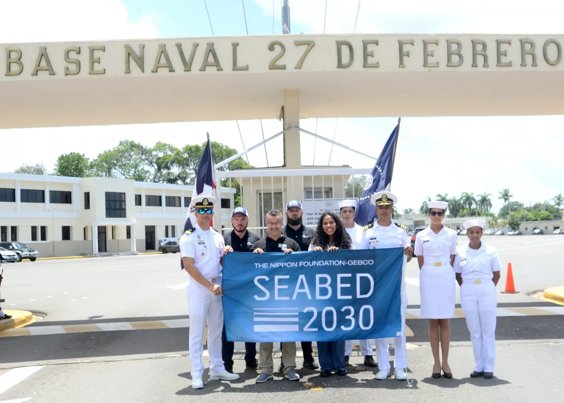
SDB is an ideal method for collecting bathymetry measurements in shallow waters. The founder of TCarta, Kyle Goodrich, believes in the power of this technology and the importance of capacity building for communities and institutions around the world, especially for countries that may not have access to this type of technology or knowledge. Sheila Caceres, originally from the Dominican Republic and a member of the Seabed 2030 AIORC team, helped to establish this collaboration and training opportunity, and is also attending the capacity development event.
This multi-day training was made possible thanks to the collaboration between the Seabed 2030 Atlantic and Indian Oceans Regional Center (AIORC), Esri and TCarta Marine with the Dominican Navy.